wind farms
We use specialized software to simulate the weather in a region and determine the annual net electricity production. Specialized studies for most wind farms in Romania.
read more
airports & heliports
Master Plan for the airport, technical projects, technical consultancy, details for execution planning, elaboration of feasibility studies, obstacle studies, location research
read more
geodesy, topography & cadastre
Topographical, cadastre and registration documentation, marking
more
research
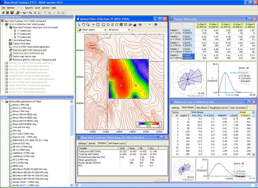
WAsP 10
WAsP is a software used in weather conditions prediction and extrapolation as well as the calculation of wind turbines efficiency. Estimates are based on data measured using measuring poles placed in the ground in the area that you want to develop a wind farm according to its topography and obstacle maps.

The first step is the calculation of the influence of the land (contour lines, roughness, obstacles) on currents of air and creating a to the general climate regions. To determine the climate in certain points in the area, namely, the reverse process occurs it is applied to the general climate from that the land influences point. In order to determine the most favorable points, can be calculated. a grid for the entire area of interest The recommended distance between calculated points is 10 m in order to have the most detailed map of the potential area.
For the calculation of energy efficiency digitized power curves obtained from the manufacturer or those that Wasp offers are used.
The terrain analysis will be made on a minimum radius of 5 km from the wind farm, the recommended radius being 10-15 km, and the barriering study within a radius of 1 km.
WAsP is developed and distributed by the Wind Energy Division at Riso DTU, Denmark.
WAsP is used to determine:
- production of wind farms
- efficiency of wind farms
- placement of wind turbines
- wind resource cartography
- generation of widespread climate
- wind data analysis
« back


