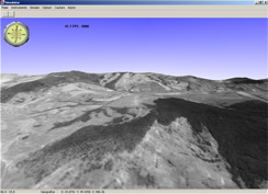
wind farms
We use specialized software to simulate the weather in a region and determine the annual net electricity production. Specialized studies for most wind farms in Romania.
read more
airports & heliports
Master Plan for the airport, technical projects, technical consultancy, details for execution planning, elaboration of feasibility studies, obstacle studies, location research
read more
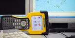
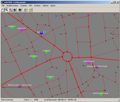
geodesy, topography & cadastre
Topographical, cadastre and registration documentation, marking
more
research
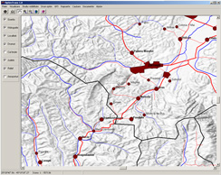
GIS
A Geographic Information System (GIS) is a system used for modeling information, processes and structures that reflect the real world, including events, to understand, analyze and manage the resources and facilities.
Amid market accelerated development of GIS services, is particularly accentuated the need for standardized data, qualitative and quantitative information in digital form and the need to report the reality of their geographical area.
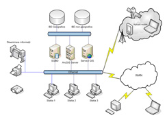
The GIS services offered by SC GEO ARC SRL is addressed mainly at local administration and business .
The services offered by SC GEO ARC SRL include the following:
- integration in the studies of environmental assessment of information in the field in the form of risk maps;
- preparation of thematic maps;
- digitizing analog maps and plans;
- design, implementation and updating geospatial data;
- coordinates transformations ;
- scanning of analog plans and maps;
- georeference of plans and maps;
The areas of GIS application are countless:health, social sciences, the financial system , criminal justice, tourism, geology, environment, construction, etc.. GIS technology can be used in the scientific investigations, resource management and development planning.